Webster County on the map of Nebraska 2026. Cities, roads, borders and directions in Webster County of Nebraska.
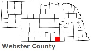
USA / Nebraska / Webster CountyWebster County is located on the southern border of Nebraska. This famous county is named after Daniel Webster, the statesman and U.S. Senator from Massachusetts. The county seat of Webster County is Red Cloud. The county's area is about 575 square miles, and today Webster County is home to 3 thousand residents. Webster County dates its history back to 1867. This map shows the borders of Webster County as well as neighboring counties, including major highways and natural objecsts as of 2026. Zoom in or out of the map using the plus/minus panel. Move the center of this map by dragging it. Also check out the satellite map of Webster County.
The borders of Webster County over the map of Nebraska
Explore some more counties of Nebraska:
- York County
- Wheeler County
- Wayne County
- Washington County
- Valley County
- Thurston County
- Thomas County
- Thayer County
- Stanton County
- Sioux County
- Sherman County
- Sheridan County
- Seward County
- Scotts Bluff County
- Saunders County
- Sarpy County
- Saline County
- Rock County
- Richardson County
- Red Willow County
Full list of Nebraska maps
This online map of Webster County, Nebraska is provided by Bing Maps. Please add a bookmark and share the page with your friends!
© 2026 City maps and famous places