The exact coordinates of Hooksett New Hampshire for your GPS track:
Latitude 43.09742 North, Longitude 71.465416 West.
Please share the link with friends and neighbors:
Share on Facebook
Share on WhatsApp
Share on Telegram
Share on Facebook
Share on WhatsApp
Share on Telegram
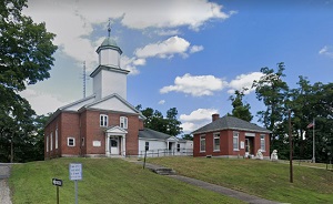
An image of Hooksett
More city maps of New Hampshire:
- Map of Nashua
Nashua is the second-largest city in New Hampshire. Its population stands at 86 thousand inhabitan... - Map of Hudson
Hudson, New Hampshire is a wonderful town situated in Hillsborough County. Incorporated back in 17... - Map of Hampton
Hampton, New Hampshire is a wonderful town situated in Rockingham County. It stands along the Atla... - Map of Amherst
Amherst, New Hampshire is a charming town located in Hillsborough County. It stands in the souther...
Full list of New Hampshire maps
This online map of Hooksett, New Hampshire is provided by Bing Maps. Please add a bookmark and share the page with your friends!