Pelham, New Hampshire: city map as of April 2024. Streets, traffic, landmarks and transport of Pelham, NH.

USA / New Hampshire / Pelham

Pelham is a beautiful town located in Hillsborough County, southern New Hampshire. It sits about 30 miles south of Manchester and borders the state of Massachusetts. The town offers a suburban and semi-rural atmosphere, making it an attractive place to live for those seeking a quieter lifestyle while still being within commuting distance of larger cities. Today Pelham is home to 14 thousand residents. This online map shows the exact scheme of Pelham streets, including major landmarks and natural objecsts. Zoom in or out using the plus/minus buttons on the map. Move the center of this map by dragging it. You are also welcome to check out the satellite map, Google map, things to do, open street map and street view of Pelham.


The exact coordinates of Pelham New Hampshire for your GPS track:
Latitude 42.735268 North, Longitude 71.323166 West.

Please share the link with friends and neighbors:
Share on Facebook
Share on WhatsApp
Share on Telegram


An image of Pelham
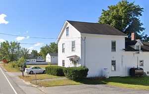
An image of Pelham, NH

More city maps of New Hampshire:

  • Map of Dover
    Dover, New Hampshire is a stylish city standing 70 miles north of Boston, MA, in Strafford County....
  • Map of Keene
    Keene, New Hampshire is a charming city and the seat of Cheshire County. The population of Keene e...
  • Map of Exeter
    Exeter, New Hampshire is a charming town in Rockingham County. Situated along the Exeter River, it...
  • Map of Raymond
    Raymond, New Hampshire is an adorable town located in Rockingham County. It sits in the southeaste...

Full list of New Hampshire maps

This online map of Pelham, New Hampshire is provided by Bing Maps. Please add a bookmark and share the page with your friends!