The exact coordinates of Rochester New Hampshire for your GPS track:
Latitude 43.303356 North, Longitude 70.975243 West.
ZIP codes for Rochester:
03839 03866 03867 03868
Please share the link with friends and neighbors:
Share on Facebook
Share on WhatsApp
Share on Telegram
Share on Facebook
Share on WhatsApp
Share on Telegram
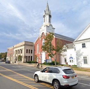
An image of Rochester
More city maps of New Hampshire:
- Map of Merrimack
Merrimack, New Hampshire is a shining town located in Hillsborough County. Incorporated on April 2... - Map of Portsmouth
Portsmouth, New Hampshire is a coastal city situated in Rockingham County. Incorporated in 1849, t... - Map of Goffstown
Goffstown, New Hampshire is a shining town located in Hillsborough County. Today Goffstown is home... - Map of Windham
Windham is a town located in Rockingham County, southeastern New Hampshire. Today Windham is popul... - Map of Claremont
Claremont, New Hampshire is a wonderful city found in Sullivan County, along the Sugar River. The ...
This online map of Rochester, New Hampshire is provided by Bing Maps. Please add a bookmark and share the page with your friends!