The exact coordinates of Hilliard Ohio for your GPS track:
Latitude 40.034649 North, Longitude 83.158722 West.
Please share the link with friends and neighbors:
Share on Facebook
Share on WhatsApp
Share on Telegram
Share on Facebook
Share on WhatsApp
Share on Telegram
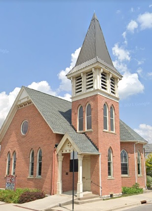
An image of Hilliard
More city maps of Ohio:
- Map of Youngstown
Youngstown, Ohio is a city with 64 thousand residents, located in Mahoning County, about 75 miles ... - Map of Middletown
Middletown, Ohio is a cool city situated 37 miles north of Cincinnati. Today Middletown is populat... - Map of Euclid
Euclid, Ohio is a suburban city found on the coasts of Lake Erie, in Cuyahoga County. The populati... - Map of Cleveland Heights
Cleveland Heights, Ohio is a suburban city of Cleveland, located in Cuyahoga County. Cleveland Hei... - Map of Reynoldsburg
Reynoldsburg, Ohio is a lovely city situated on the eastern outskirts of Coluumbus. Today Reynolds... - Map of Gahanna
Gahanna, Ohio is a suburban city of Columbus, found in Franklin County. The population of Gahanna ... - Map of Fairborn
Fairborn, Ohio is a nice city located about 12 miles northeast of Dayton, in Greene County. Fairbo... - Map of North Royalton
North Royalton, Ohio is a beautiful city situated about 18 miles south of Cleveland, in Cuyahoga C... - Map of Austintown
Austintown, Ohio is a shining CDP located near Youngstown in Mahoning County. Today Austintown is ... - Map of Wooster
Wooster, Ohio is a hilarious city situated in Wayne County. Established in 1808, today Wooster is ... - Map of Xenia
Xenia, Ohio is a wonderful city and the county seat of Greene County. Founded in 1803, today Xenia... - Map of Centerville
Centerville, Ohio is a wonderful city situated near Dayton, in Montgomery County. Founded back in ... - Map of Pickerington
Pickerington, Ohio is a dynamic city standing 16 miles southeast of Columbus. The population of Pi... - Map of Trotwood
Trotwood, Ohio is a dynamic city near Dayton, in Montgomery County. The population of Trotwood exc... - Map of Rocky River
Rocky River, Ohio is a dynamic city found in Cuyahoga County. The population of Rocky River exceed... - Map of Sidney
Sidney, Ohio is an adorable city located in Shelby County. Sidney is home to 20 thousand residents... - Map of Forest Park
Forest Park, Ohio is a shining city located in Hamilton County. It stands in the southwestern part...
Distances from Hilliard, Ohio:
- Distance between Hilliard and Youngstown
- Distance between Hilliard and Middletown
- Distance between Hilliard and Euclid
- Distance between Hilliard and Cleveland Heights
- Distance between Hilliard and Reynoldsburg
- Distance between Hilliard and Gahanna
- Distance between Hilliard and Fairborn
- Distance between Hilliard and North Royalton
- Distance between Hilliard and Austintown
- Distance between Hilliard and Wooster
- Distance between Hilliard and Xenia
- Distance between Hilliard and Centerville
- Distance between Hilliard and Pickerington
- Distance between Hilliard and Trotwood
- Distance between Hilliard and Rocky River
- Distance between Hilliard and Sidney
- Distance between Hilliard and Forest Park
Full list of Ohio maps
This online map of Hilliard, Ohio is provided by Bing Maps. Please add a bookmark and share the page with your friends!