Bristol County on the map of Rhode Island 2025. Cities, roads, borders and directions in Bristol County of Rhode Island.
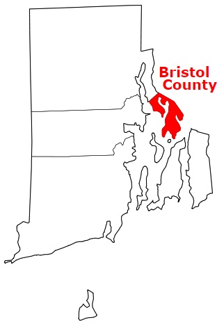
USA / Rhode Island / Bristol CountyBristol County is the smallest county in Rhode Island. The county town of Bristol County is Bristol. The overall area of the county is about 24 square miles. Established back in 1747, today Bristol County counts over 51 thousand inhabitants. The county is named after City of Bristol, United Kingdom. This map shows the borders of Bristol County as well as neighboring counties, including major highways and natural objecsts as of 2025. Zoom in or out of the map using the plus/minus panel. Move the center of this map by dragging it. Also check out the satellite map of Bristol County.
The borders of Bristol County over the map of Rhode Island
Explore some more counties of Rhode Island:
Full list of Rhode Island maps
This online map of Bristol County, Rhode Island is provided by Bing Maps. Please add a bookmark and share the page with your friends!
© 2025 City maps and famous places