The exact coordinates of Bristol Rhode Island for your GPS track:
Latitude 41.674797 North, Longitude 71.272118 West.
Please share the link with friends and neighbors:
Share on Facebook
Share on WhatsApp
Share on Telegram
Share on Facebook
Share on WhatsApp
Share on Telegram
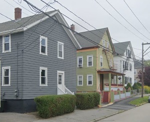
An image of Bristol
More city maps of Rhode Island:
- Map of North Providence
North Providence, Rhode Island is a suburban town found in Providence County. The population of No... - Map of North Kingstown
North Kingstown, Rhode Island (founded in 1674) is an seaside town in Washington County. The popul... - Map of Portsmouth
Portsmouth, Rhode Island is a shining town located in Newport County. It stands on Aquidneck Islan... - Map of Narragansett
Narragansett is a town located in Washington County, Rhode Island. It stands on the southern coast... - Map of Glocester
Glocester, Rhode Island is a wonderful town located in Providence County. It stands in the northwe...
Full list of Rhode Island maps
This online map of Bristol, Rhode Island is provided by Bing Maps. Please add a bookmark and share the page with your friends!