Berkeley County on the map of South Carolina 2026. Cities, roads, borders and directions in Berkeley County of South Carolina.
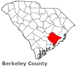
USA / South Carolina / Berkeley CountyBerkeley County is found in the northern suburban zone of Columbia, South Carolina. This beautiful county is named after William Berkeley, colonial proprietary governor and landowner. The population of Berkeley County exceeds 237 thousand people. The county, formed in 1882, covers an area of 1228 square miles. The county seat of Berkeley County is Moncks Corner. This map shows the borders of Berkeley County as well as neighboring counties, including major highways and natural objecsts as of 2026. Zoom in or out of the map using the plus/minus panel. Move the center of this map by dragging it. Also check out the satellite map of Berkeley County.
The borders of Berkeley County over the map of South Carolina
Explore some more counties of South Carolina:
- York County
- Williamsburg County
- Union County
- Sumter County
- Spartanburg County
- Saluda County
- Richland County
- Pickens County
- Orangeburg County
- Oconee County
- Newberry County
- McCormick County
- Marlboro County
- Marion County
- Lexington County
- Lee County
- Laurens County
- Lancaster County
- Kershaw County
- Jasper County
Full list of South Carolina maps
This online map of Berkeley County, South Carolina is provided by Bing Maps. Please add a bookmark and share the page with your friends!
© 2026 City maps and famous places