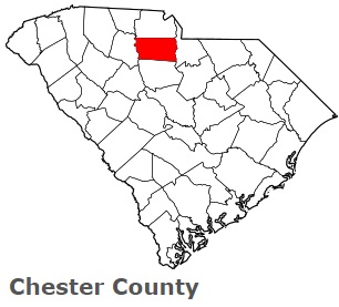
The borders of Chester County over the map of South Carolina
Explore some more counties of South Carolina:
- York County
- Williamsburg County
- Union County
- Sumter County
- Spartanburg County
- Saluda County
- Richland County
- Pickens County
- Orangeburg County
- Oconee County
- Newberry County
- McCormick County
- Marlboro County
- Marion County
- Lexington County
- Lee County
- Laurens County
- Lancaster County
- Kershaw County
- Jasper County
Full list of South Carolina maps
This online map of Chester County, South Carolina is provided by Bing Maps. Please add a bookmark and share the page with your friends!