The exact coordinates of Huron South Dakota for your GPS track:
Latitude 44.36446 North, Longitude 98.217453 West.
ZIP codes for Huron:
57350 57399
Please share the link with friends and neighbors:
Share on Facebook
Share on WhatsApp
Share on Telegram
Share on Facebook
Share on WhatsApp
Share on Telegram
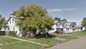
An image of Huron
More city maps of South Dakota:
- Map of Sioux Falls
Sioux Falls is the largest city in the state of South Dakota, and the county seat of Minnehaha Cou...
This online map of Huron, South Dakota is provided by Bing Maps. Please add a bookmark and share the page with your friends!