The exact coordinates of Rapid City South Dakota for your GPS track:
Latitude 44.082512 North, Longitude 103.230453 West.
ZIP codes for Rapid City:
57701 57702 57703 57709
Please share the link with friends and neighbors:
Share on Facebook
Share on WhatsApp
Share on Telegram
Share on Facebook
Share on WhatsApp
Share on Telegram
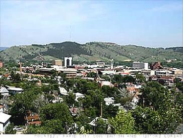
An image of Rapid City
More city maps of South Dakota:
- Map of Brookings
Brookings, incorporated in 1883, is a small city in the eastern part of South Dakota. The populati... - Map of Yankton
The city of Yankton, South Dakota is the county seat of Yankton County and one of the oldest and h... - Map of Vermillion
Vermillion, South Dakota is an adorable city located in Clay County. Today Vermillion is home to 1...
This online map of Rapid City, South Dakota is provided by Bing Maps. Please add a bookmark and share the page with your friends!