Lee County on the map of Virginia 2026. Cities, roads, borders and directions in Lee County of Virginia.
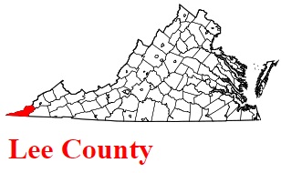
USA / Virginia / Lee CountyLee County is positioned on the western tip of Virginia. The county is named after Light Horse Harry Lee, Revolutionary War general and governor of Virginia. The population of Lee County exceeds 22 thousand people. The county, founded back in 1793, spans a total area of about 437 square miles. The county seat of Lee County is Jonesville. This map shows the borders of Lee County as well as neighboring counties, including major highways and natural objecsts as of 2026. Zoom in or out of the map using the plus/minus panel. Move the center of this map by dragging it. Also check out the satellite map of Lee County.
The borders of Lee County over the map of Virginia
Explore some more counties of Virginia:
- York County
- Wythe County
- Wise County
- Westmoreland County
- Washington County
- Warren County
- Tazewell County
- Sussex County
- Surry County
- Stafford County
- Southampton County
- Smyth County
- Shenandoah County
- Scott County
- Russell County
- Rockingham County
- Rockbridge County
- Roanoke County
- Rappahannock County
- Pulaski County
Full list of Virginia maps
This online map of Lee County, Virginia is provided by Bing Maps. Please add a bookmark and share the page with your friends!
© 2026 City maps and famous places