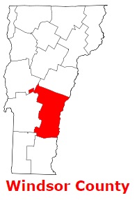
The borders of Windsor County over the map of Vermont
Explore some more counties of Vermont:
- Windham County
- Washington County
- Rutland County
- Orleans County
- Orange County
- Lamoille County
- Grand Isle County
- Franklin County
- Essex County
- Chittenden County
- Caledonia County
- Bennington County
- Addison County
Full list of Vermont maps
This online map of Windsor County, Vermont is provided by Bing Maps. Please add a bookmark and share the page with your friends!