Raleigh County on the map of West Virginia 2026. Cities, roads, borders and directions in Raleigh County of West Virginia.
USA / West Virginia / Raleigh CountyRaleigh County is located in the southern part of West Virginia. This unique county is named after Sir Walter Raleigh (1554-1618), English explorer and poet. The county seat of Raleigh County is Beckley. The county's area is about 607 square miles. Established in 1850, today Raleigh County is home to 74 thousand residents. This map shows the borders of Raleigh County as well as neighboring counties, including major highways and natural objecsts as of 2026. Zoom in or out of the map using the plus/minus panel. Move the center of this map by dragging it. Also check out the satellite map of Raleigh County.
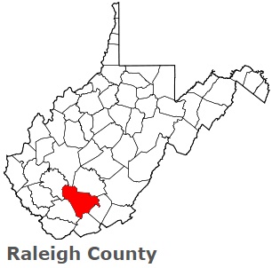
The borders of Raleigh County over the map of West Virginia
Explore some more counties of West Virginia:
- Wyoming County
- Wood County
- Wirt County
- Wetzel County
- Webster County
- Wayne County
- Upshur County
- Tyler County
- Tucker County
- Taylor County
- Summers County
- Roane County
- Ritchie County
- Randolph County
- Putnam County
- Preston County
- Pocahontas County
- Pleasants County
- Pendleton County
- Ohio County
Full list of West Virginia maps
This online map of Raleigh County, West Virginia is provided by Bing Maps. Please add a bookmark and share the page with your friends!
© 2026 City maps and famous places