The exact coordinates of Evanston Wyoming for your GPS track:
Latitude 41.267723 North, Longitude 110.965973 West.
Please share the link with friends and neighbors:
Share on Facebook
Share on WhatsApp
Share on Telegram
Share on Facebook
Share on WhatsApp
Share on Telegram
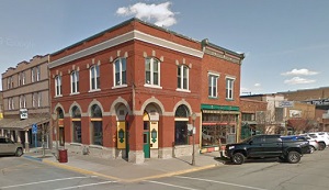
An image of Evanston
More city maps of Wyoming:
- Map of Laramie
Laramie is the third largest city in Wyoming, after Casper and Cheyenne. Laramie, Wyoming is a cha...
Full list of Wyoming maps
This online map of Evanston, Wyoming is provided by Bing Maps. Please add a bookmark and share the page with your friends!