The exact coordinates of Sheridan Wyoming for your GPS track:
Latitude 44.797222 North, Longitude 106.955833 West.
Please share the link with friends and neighbors:
Share on Facebook
Share on WhatsApp
Share on Telegram
Share on Facebook
Share on WhatsApp
Share on Telegram
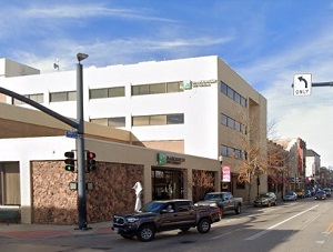
An image of Sheridan
More city maps of Wyoming:
- Map of Cody
Cody, Wyoming is a city serving as the county seat of Park County. It stands in the northwestern p...
Full list of Wyoming maps
This online map of Sheridan, Wyoming is provided by Bing Maps. Please add a bookmark and share the page with your friends!