Please share the link with friends and neighbors:
Share on Facebook
Share on WhatsApp
Share on Telegram
Share on Facebook
Share on WhatsApp
Share on Telegram
Wiener Stadthalle is listed in:
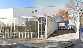
Image of Wiener Stadthalle:
Check out some more famous and interesting places on our planet:
- Legacy Arena
- Ruth Eckerd Hall
- Robinson Performance Hall
- The Pacific Amphitheatre
- Oakland Arena
- Tacoma Dome
- Spokane Arena
- Save Mart Center
- Kia Forum
- Viejas Arena
- Freeman Coliseum
- Don Haskins Center
- Hard Rock Live
- Allstate Arena
- Pine Knob Music Theatre
- The Riviera Theatre
- The Wiltern
- Brooklyn Steel
- Emo's Austin
- The Greek Theatre
This online map of Wiener Stadthalle is provided by OpenStreetMap.
Please add a bookmark and share the page with your friends!