Fairbanks North Star Borough on the map of Alaska 2024. Cities, roads, borders and directions in Fairbanks North Star Borough of Alaska.

USA / Alaska / Fairbanks North Star Borough

Fairbanks North Star Borough is located in the eastern part of Alaska. This cool borough is named after Charles Fairbanks (1852-1918), U.S. Senator from Indiana and vice president. The borough seat of Fairbanks North Star Borough is Fairbanks. The borough's area is about 7335 square miles, and today Fairbanks North Star Borough is home to 96 thousand residents. Fairbanks North Star Borough dates its history back to 1964. This map shows the borders of Fairbanks North Star Borough as well as neighboring counties, including major highways and natural objecsts as of 2024. Zoom in or out of the map using the plus/minus panel. Move the center of this map by dragging it. Also check out the satellite map of Fairbanks North Star Borough.


Please share the map of Fairbanks North Star Borough with your friends:


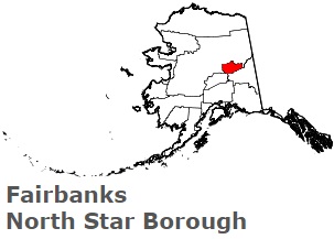
The borders of Fairbanks North Star Borough over the map of Alaska

An image of Fairbanks North Star Borough, AK

Explore some more counties of Alaska:

Full list of Alaska maps

This online map of Fairbanks North Star Borough, Alaska is provided by Bing Maps. Please add a bookmark and share the page with your friends!