The exact coordinates of North Lakes Alaska for your GPS track:
Latitude 61.617477 North, Longitude 149.30957 West.
Please share the link with friends and neighbors:
Share on Facebook
Share on WhatsApp
Share on Telegram
Share on Facebook
Share on WhatsApp
Share on Telegram
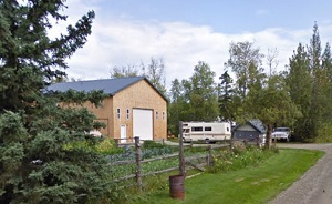
An image of North Lakes
More city maps of Alaska:
- Map of Fairbanks
Fairbanks is the second largest city in Alaska after Anchorage. Its population is about 32,000 peo... - Map of Ketchikan
Ketchikan, Alaska is a lovely city located in Ketchikan Gateway Borough. It's known for its stunni... - Map of Sterling
Sterling is a community located on the Kenai Peninsula in the state of Alaska. It stands along the...
Full list of Alaska maps
This online map of North Lakes, Alaska is provided by Bing Maps. Please add a bookmark and share the page with your friends!