The exact coordinates of Tanaina Alaska for your GPS track:
Latitude 61.615307 North, Longitude 149.443771 West.
Please share the link with friends and neighbors:
Share on Facebook
Share on WhatsApp
Share on Telegram
Share on Facebook
Share on WhatsApp
Share on Telegram
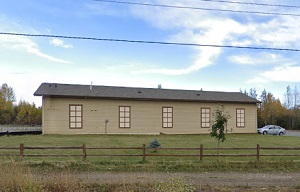
An image of Tanaina
More city maps of Alaska:
- Map of Anchorage
Anchorage is the largest city in the state of Alaska in the United States. It is located in south-... - Map of Meadow Lakes
Meadow Lakes, Alaska is a wonderful CDP situated in Matanuska-Susitna Borough. It stands in the Ma... - Map of Palmer
Palmer, Alaska is a beautiful city that serves as the borough seat of Matanuska-Susitna Borough. I... - Map of Bethel
Bethel is a beautiful city located in western Alaska. It is the largest community in the Bethel Ce... - Map of Fishhook
Fishhook is a small community located in the Matanuska-Susitna Borough of Alaska, which is approxi...
Full list of Alaska maps
This online map of Tanaina, Alaska is provided by Bing Maps. Please add a bookmark and share the page with your friends!