The exact coordinates of Wasilla Alaska for your GPS track:
Latitude 61.580933 North, Longitude 149.441406 West.
Please share the link with friends and neighbors:
Share on Facebook
Share on WhatsApp
Share on Telegram
Share on Facebook
Share on WhatsApp
Share on Telegram
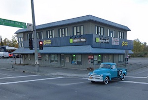
An image of Wasilla
More city maps of Alaska:
- Map of Juneau
Juneau is the capital city of Alaska and its third largest city with a population of some 31 thous... - Map of Badger
Badger is a CDP in the central part of Alaska, located to the east of Fairbanks. The population of... - Map of Kenai
Kenai, Alaska is a charming city found in Kenai Peninsula Borough, on the shores of the Cook Inlet... - Map of Homer
Homer is a picturesque city located on the Kenai Peninsula of Alaska. It is known for its stunning...
Full list of Alaska maps
This online map of Wasilla, Alaska is provided by Bing Maps. Please add a bookmark and share the page with your friends!