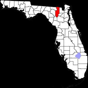
The borders of Columbia County over the map of Florida
Explore some more counties of Florida:
- Washington County
- Walton County
- Wakulla County
- Volusia County
- Union County
- Taylor County
- Suwannee County
- Sumter County
- Seminole County
- Sarasota County
- Santa Rosa County
- St. Lucie County
- St. Johns County
- Putnam County
- Polk County
- Pasco County
- Osceola County
- Okeechobee County
- Okaloosa County
- Nassau County
Full list of Florida maps
This online map of Columbia County, Florida is provided by Bing Maps. Please add a bookmark and share the page with your friends!