The exact coordinates of Gardnerville Ranchos Nevada for your GPS track:
Latitude 38.888023 North, Longitude 119.736992 West.
Please share the link with friends and neighbors:
Share on Facebook
Share on WhatsApp
Share on Telegram
Share on Facebook
Share on WhatsApp
Share on Telegram
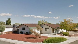
An image of Gardnerville Ranchos
More city maps of Nevada:
- Map of North Las Vegas
North Las Vegas is the fourth largest city in Nevada, located in Las Vegas metro area. Today North... - Map of Carson City
Carson City, founded 1858, is the capital of Nevada and home for 54 thousand residents. It is loca... - Map of Whitney
Whitney, Nevada is a nice suburban town of Las Vegas located in Clark County. Today Whitney is hom... - Map of Mesquite
Mesquite, Nevada is a lovely city located 80 miles northeast of Las Vegas, in Clark County. Incorp...
Full list of Nevada maps
This online map of Gardnerville Ranchos, Nevada is provided by Bing Maps. Please add a bookmark and share the page with your friends!