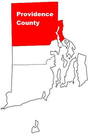
Providence County is a vast county situated in the northern part of Rhode Island. The county town of Providence County is Providence. The overall area of the county is about 409 square miles. Founded back in 1703, today Providence County counts over 658 thousand inhabitants. The county is named after Divine Providence, a concept reflecting the religious nature of colonial founder Roger Williams. This map shows the borders of Providence County as well as neighboring counties,
including major highways and natural objecsts as of 2024.
Zoom in or out of the map using the plus/minus panel. Move the center of this map by dragging it.
Also check out the satellite map of Providence County.
Please share the map of Providence County with your friends:
The borders of Providence County over the map of Rhode Island
Explore some more counties of Rhode Island:
This online map of Providence County, Rhode Island is provided by Bing Maps.
Please add a bookmark and share the page with your friends!