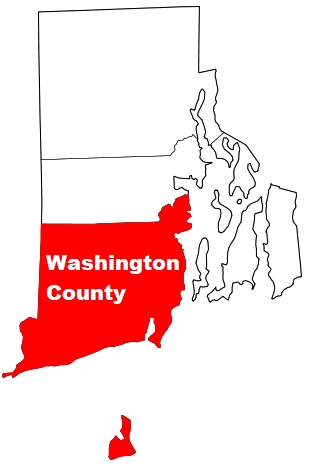
Washington County occupies the southern portion of Rhode Island. The population of Washington County exceeds 131 thousand people. The county, established back in 1729, spans a total area of 329 square miles. The county town of Washington County is South Kingstown. The county is named after George Washington, first President of the United States. This map shows the borders of Washington County as well as neighboring counties,
including major highways and natural objecsts as of 2024.
Zoom in or out of the map using the plus/minus panel. Move the center of this map by dragging it.
Also check out the satellite map of Washington County.
Please share the map of Washington County with your friends:
The borders of Washington County over the map of Rhode Island
Explore some more counties of Rhode Island:
This online map of Washington County, Rhode Island is provided by Bing Maps.
Please add a bookmark and share the page with your friends!