The exact coordinates of Brattleboro Vermont for your GPS track:
Latitude 42.85022 North, Longitude 72.558006 West.
Please share the link with friends and neighbors:
Share on Facebook
Share on WhatsApp
Share on Telegram
Share on Facebook
Share on WhatsApp
Share on Telegram
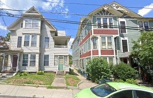
An image of Brattleboro
More city maps of Vermont:
- Map of Rutland
The city of Rutland, Vermont is the county seat of Rutland County. It is the third-largest city in... - Map of Montpelier
Montpelier, Vermont is a charming city found in Washington County. It is the capital city of the s...
Full list of Vermont maps
This online map of Brattleboro, Vermont is provided by Bing Maps. Please add a bookmark and share the page with your friends!