The exact coordinates of Montpelier Vermont for your GPS track:
Latitude 44.259693 North, Longitude 72.575768 West.
Please share the link with friends and neighbors:
Share on Facebook
Share on WhatsApp
Share on Telegram
Share on Facebook
Share on WhatsApp
Share on Telegram
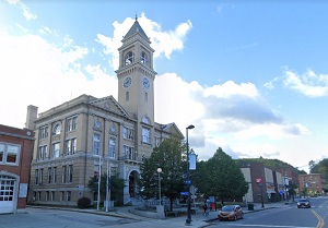
An image of Montpelier
More city maps of Vermont:
- Map of Brattleboro
Brattleboro, Vermont is a charming town located in Windham County. It stands in the southeastern p... - Map of Rutland
The city of Rutland, Vermont is the county seat of Rutland County. It is the third-largest city in...
Full list of Vermont maps
This online map of Montpelier, Vermont is provided by Bing Maps. Please add a bookmark and share the page with your friends!