Burnaby is a city located in British Columbia, Canada. It is part of the Metro Vancouver regional district and is situated to the east of Vancouver. Burnaby is bordered by Vancouver to the west, New Westminster to the east, Coquitlam to the northeast, and the Fraser River to the south. It covers an area of approximately 98 square kilometers. Burnaby is the 24th largest city in Canada with 203 thousand inhabitants. This map shows the detailed scheme of Burnaby streets, including major sites and natural objecsts.
Zoom in or out, move the map's center by dragging your mouse or click the plus/minus buttons to zoom. Also check out a street view and a satellite map of Burnaby.
The exact coordinates of Burnaby, Canada for your GPS track:
Latitude 49.24984 North, Longitude 122.98214 West.
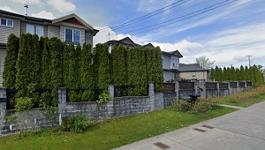
An image of Burnaby, Canada:
Check out some more city maps in Canada:
Full list of Canada maps
This online map of Burnaby (Canada) is provided by Bing Maps.
Please add a bookmark and share the page with your friends!