Richmond is a city located in the Metro Vancouver region of British Columbia, Canada. It stands on the southwestern part of the Fraser River delta, adjacent to Vancouver and Burnaby. Richmond is known for its diverse cultural heritage, thriving Asian community, and its proximity to Vancouver International Airport. The population of Richmond exceeds 182 thousand people. This map shows the detailed scheme of Richmond streets, including major sites and natural objecsts.
Zoom in or out, move the map's center by dragging your mouse or click the plus/minus buttons to zoom. Also check out a street view and a satellite map of Richmond.
The exact coordinates of Richmond, Canada for your GPS track:
Latitude 49.164719 North, Longitude 123.13533 West.
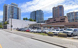
An image of Richmond, Canada:
Check out some more city maps in Canada:
Full list of Canada maps
This online map of Richmond (Canada) is provided by Bing Maps.
Please add a bookmark and share the page with your friends!