Bangalore, officially known as Bengaluru, is a major city in the state of Karnataka, India. It is located in the southeastern part of the state and is the capital of Karnataka. Bangalore is one of the largest and most important cities in India, both in terms of population and economic significance. Today Bangalore is populated by 8.5 million inhabitants. This map shows the detailed scheme of Bangalore streets, including major sites and natural objecsts.
Zoom in or out, move the map's center by dragging your mouse or click the plus/minus buttons to zoom.
Also check out the population, street view and a satellite map of Bangalore.
The exact coordinates of Bangalore, India for your GPS track:
Latitude 12.97433 North, Longitude 77.596123 East.
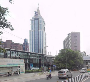
An image of Bangalore, India:
Check out some more city maps in India:
Full list of India maps
This online map of Bangalore (India) is provided by Bing Maps.
Please add a bookmark and share the page with your friends!