Bareilly is a city located in the state of Uttar Pradesh, India. It is situated in the northern part of the country and is considered to be a part of the region known as the Rohilkhand. Bareilly is located approximately 155 miles northwest of the national capital, New Delhi. The city of Bareilly is known for its rich history and cultural heritage. The population of Bareilly exceeds 904 thousand people. This map shows the detailed scheme of Bareilly streets, including major sites and natural objecsts.
Zoom in or out, move the map's center by dragging your mouse or click the plus/minus buttons to zoom.
Also check out the population, street view and a satellite map of Bareilly.
The exact coordinates of Bareilly, India for your GPS track:
Latitude 28.370762 North, Longitude 79.429832 East.
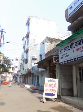
An image of Bareilly, India:
Check out some more city maps in India:
Full list of India maps
This online map of Bareilly (India) is provided by Bing Maps.
Please add a bookmark and share the page with your friends!