Hyderabad is a big city located in the southern part of India, in the state of Telangana. It serves as the capital city of Telangana and is known for its rich history, culture, and IT industry. Hyderabad is often referred to as the "City of Pearls" due to its historical association with the trade of pearls and diamonds. Now Hyderabad is home to more than 7 million residents. This map shows the detailed scheme of Hyderabad streets, including major sites and natural objecsts.
Zoom in or out, move the map's center by dragging your mouse or click the plus/minus buttons to zoom.
Also check out the population, street view and a satellite map of Hyderabad.
The exact coordinates of Hyderabad, India for your GPS track:
Latitude 17.384935 North, Longitude 78.484421 East.
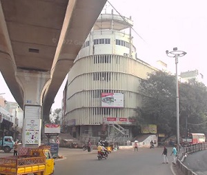
An image of Hyderabad, India:
Check out some more city maps in India:
Full list of India maps
This online map of Hyderabad (India) is provided by Bing Maps.
Please add a bookmark and share the page with your friends!