Pune is a vibrant city located in the state of Maharashtra in western India. It is the second-largest city in Maharashtra and is known for its rich history, educational institutions, and cultural heritage. It was the capital of the Maratha Empire and played a significant role in India's freedom struggle against British colonial rule. The population of Pune exceeds 3.1 million people. This map shows the detailed scheme of Pune streets, including major sites and natural objecsts.
Zoom in or out, move the map's center by dragging your mouse or click the plus/minus buttons to zoom.
Also check out the population, street view and a satellite map of Pune.
The exact coordinates of Pune, India for your GPS track:
Latitude 18.519194 North, Longitude 73.856194 East.
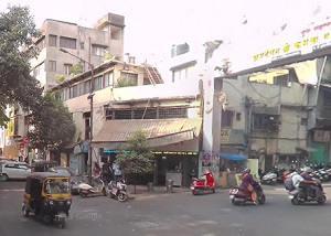
An image of Pune, India:
Check out some more city maps in India:
Full list of India maps
This online map of Pune (India) is provided by Bing Maps.
Please add a bookmark and share the page with your friends!