Raipur is the capital city of the central Indian state of Chhattisgarh. It sits in the eastern part of the state and serves as its administrative, economic, and cultural hub. Raipur has witnessed rapid growth and development in recent years and has become a major center for trade, commerce, education, and tourism. Now Raipur is home to more than 1 million residents. This map shows the detailed scheme of Raipur streets, including major sites and natural objecsts.
Zoom in or out, move the map's center by dragging your mouse or click the plus/minus buttons to zoom.
Also check out the population, street view and a satellite map of Raipur.
The exact coordinates of Raipur, India for your GPS track:
Latitude 21.251854 North, Longitude 81.629051 East.
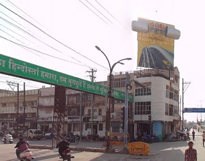
An image of Raipur, India:
Check out some more city maps in India:
Full list of India maps
This online map of Raipur (India) is provided by Bing Maps.
Please add a bookmark and share the page with your friends!