The exact coordinates of Glasgow Delaware for your GPS track:
Latitude 39.603817 North, Longitude 75.744576 West.
Please share the link with friends and neighbors:
Share on Facebook
Share on WhatsApp
Share on Telegram
Share on Facebook
Share on WhatsApp
Share on Telegram
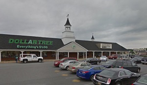
An image of Glasgow
More city maps of Delaware:
- Map of Middletown
Middletown is the 4th largest municipality in Delaware with 22 thousand residents. This beautiful ... - Map of Milford
Milford, Delaware is a shining city located in Kent County. It is situated in central Delaware, ne... - Map of Georgetown
Georgetown, Delaware is a charming city that serves as the county seat of Sussex County, which is ... - Map of New Castle
New Castle, Delaware is the county seat of New Castle County. The city is situated in the northern...
Distances from Glasgow, Delaware:
- Distance between Glasgow and Middletown
- Distance between Glasgow and Milford
- Distance between Glasgow and Georgetown
- Distance between Glasgow and New Castle
Full list of Delaware maps
This online map of Glasgow, Delaware is provided by Bing Maps. Please add a bookmark and share the page with your friends!