The exact coordinates of Waipahu Hawaii for your GPS track:
Latitude 21.392756 North, Longitude 158.005035 West.
Please share the link with friends and neighbors:
Share on Facebook
Share on WhatsApp
Share on Telegram
Share on Facebook
Share on WhatsApp
Share on Telegram
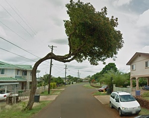
An image of Waipahu
More city maps of Hawaii:
- Map of East Honolulu
East Honolulu is a CDP located on the eastern edge of Honolulu. With more than 50 thousand reside... - Map of Kapolei
Kapolei is a planned city and one of the fastest-growing communities located on the southwestern c... - Map of Wahiawa
Wahiawa is a town located on the island of Oahu in the state of Hawaii. It is situated in the cent... - Map of Royal Kunia
Royal Kunia, Hawaii is a wonderful residential community and a CDP located on the island of Oahu. ... - Map of Nanakuli
Nanakuli, Hawaii is a nice community and a CDP situated on the western coast of Oahu, the third-la... - Map of Makaha
Makaha, Hawaii is a nice community located on the western coast of the island of Oahu. The populat...
Full list of Hawaii maps
This online map of Waipahu, Hawaii is provided by Bing Maps. Please add a bookmark and share the page with your friends!