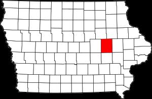
The borders of Benton County over the map of Iowa
Explore some more counties of Iowa:
- O'Brien County
- Wright County
- Worth County
- Woodbury County
- Winneshiek County
- Winnebago County
- Webster County
- Wayne County
- Washington County
- Warren County
- Wapello County
- Van Buren County
- Union County
- Taylor County
- Tama County
- Story County
- Sioux County
- Shelby County
- Scott County
- Sac County
Full list of Iowa maps
This online map of Benton County, Iowa is provided by Bing Maps. Please add a bookmark and share the page with your friends!