The exact coordinates of Lewiston Idaho for your GPS track:
Latitude 46.418247 North, Longitude 117.02256 West.
Please share the link with friends and neighbors:
Share on Facebook
Share on WhatsApp
Share on Telegram
Share on Facebook
Share on WhatsApp
Share on Telegram
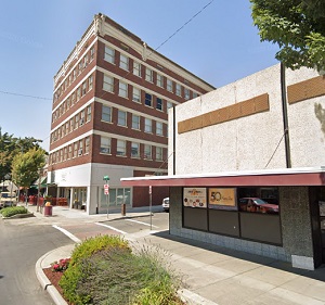
An image of Lewiston
More city maps of Idaho:
- Map of Boise
Boise is the largest city and the capital of Idaho with population of over 200 thousand people. It... - Map of Chubbuck
Chubbuck, Idaho is a city located in Bannock County. It is situated in the southeastern part of th... - Map of Burley
Burley, Idaho is a city located in Cassia County. It is situated in the southern part of the state... - Map of Hailey
Hailey is a lovely city located in central Idaho. It is the largest city and the county seat of Bl... - Map of Preston
Preston is a beautiful city located in southeastern Idaho. It is the county seat of Franklin Count...
Distances from Lewiston, Idaho:
- Distance between Lewiston and Boise
- Distance between Lewiston and Chubbuck
- Distance between Lewiston and Burley
- Distance between Lewiston and Hailey
- Distance between Lewiston and Preston
Full list of Idaho maps
This online map of Lewiston, Idaho is provided by Bing Maps. Please add a bookmark and share the page with your friends!