The exact coordinates of Preston Idaho for your GPS track:
Latitude 42.096493 North, Longitude 111.876678 West.
Please share the link with friends and neighbors:
Share on Facebook
Share on WhatsApp
Share on Telegram
Share on Facebook
Share on WhatsApp
Share on Telegram
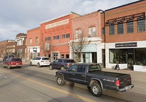
An image of Preston
More city maps of Idaho:
- Map of Boise
Boise is the largest city and the capital of Idaho with population of over 200 thousand people. It... - Map of Lewiston
The city of Lewiston, Idaho, is the county seat of Nez Perce County. Incorporated back in 1861, to... - Map of Chubbuck
Chubbuck, Idaho is a city located in Bannock County. It is situated in the southeastern part of th... - Map of Burley
Burley, Idaho is a city located in Cassia County. It is situated in the southern part of the state... - Map of Hailey
Hailey is a lovely city located in central Idaho. It is the largest city and the county seat of Bl...
Full list of Idaho maps
This online map of Preston, Idaho is provided by Bing Maps. Please add a bookmark and share the page with your friends!