The exact coordinates of Payette Idaho for your GPS track:
Latitude 44.076008 North, Longitude 116.935081 West.
Please share the link with friends and neighbors:
Share on Facebook
Share on WhatsApp
Share on Telegram
Share on Facebook
Share on WhatsApp
Share on Telegram
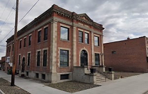
An image of Payette
More city maps of Idaho:
- Map of Eagle
Eagle, Idaho is a charming city found in the suburban area of Boise. It is a part of Ada County. T... - Map of Hayden
Hayden, Idaho is a city located in Kootenai County, in the northern part of the state, near the bo... - Map of Star
Star, Idaho is a city located in Ada County, in the southwestern part of the state, near the borde... - Map of Weiser
Weiser is a city located in western Idaho. It is the county seat of Washington County and is situa...
Full list of Idaho maps
This online map of Payette, Idaho is provided by Bing Maps. Please add a bookmark and share the page with your friends!