DuPage County on the map of Illinois 2026. Cities, roads, borders and directions in DuPage County of Illinois.
USA / Illinois / DuPage CountyDuPage County is adjacent to Chicago metropolitan area, it is also home for 922 thousand people, which makes it the second largest county in the state of Illinois. The county seat of DuPage county is Wheaton. This map shows the borders of DuPage County as well as neighboring counties, including major highways and natural objecsts as of 2026. Zoom in or out of the map using the plus/minus panel. Move the center of this map by dragging it. Also check out the satellite map of DuPage County.
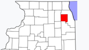
The borders of DuPage County over the map of Illinois
Explore some more counties of Illinois:
- Woodford County
- Winnebago County
- Williamson County
- Will County
- Whiteside County
- White County
- Wayne County
- Washington County
- Warren County
- Wabash County
- Vermilion County
- Union County
- Tazewell County
- Stephenson County
- Stark County
- St. Clair County
- Shelby County
- Scott County
- Schuyler County
- Sangamon County
Full list of Illinois maps
This online map of DuPage County, Illinois is provided by Bing Maps. Please add a bookmark and share the page with your friends!
© 2026 City maps and famous places