The exact coordinates of Bel Aire Kansas for your GPS track:
Latitude 37.764156 North, Longitude 97.262756 West.
Please share the link with friends and neighbors:
Share on Facebook
Share on WhatsApp
Share on Telegram
Share on Facebook
Share on WhatsApp
Share on Telegram
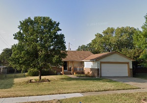
An image of Bel Aire
More city maps of Kansas:
- Map of Wichita
Wichita is the largest city in the state of Kansas and the county seat of Sedgwick County. Its pop... - Map of Olathe
Olathe is the county seat of Johnson County, Kansas, United States. It is the fourth most populous... - Map of Leawood
Leawood, Kansas is a suburb of Kansas City, situated in Johnson County. Today Leawood is populated... - Map of Gardner
Gardner is a city located in Johnson County, Kansas, United States. It is a suburb of Kansas City ... - Map of Andover
Andover, Kansas is a wonderful city situated in Butler County. It stands in the south-central part... - Map of Arkansas City
Arkansas City is located in Cowley County, Kansas. It stands in the southern part of the state, ne... - Map of Atchison
Atchison, Kansas is an adorable city and the county seat of Atchison County. Atchison is located i... - Map of Fort Riley
Fort Riley is a United States Army installation located in the Flint Hills region of Kansas, near ... - Map of Valley Center
Valley Center is a city located in Sedgwick County, in south-central Kansas, about 10 miles north ... - Map of Abilene
Abilene is a charming city found in central Kansas, and it is the county seat of Dickinson County.... - Map of Ulysses
Ulysses, Kansas is a city that serves as the county seat of Grant County. It is located in the sou... - Map of Concordia
Concordia is a city situated in the central part of Kansas. It serves as the county seat of Cloud ...
Full list of Kansas maps
This online map of Bel Aire, Kansas is provided by Bing Maps. Please add a bookmark and share the page with your friends!