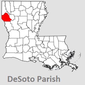
The borders of DeSoto Parish over the map of Louisiana
Explore some more counties of Louisiana:
- Winn Parish
- West Feliciana Parish
- West Carroll Parish
- West Baton Rouge Parish
- Webster Parish
- Washington Parish
- Vernon Parish
- Vermilion Parish
- Union Parish
- Terrebonne Parish
- Tensas Parish
- Tangipahoa Parish
- St. Tammany Parish
- St. Mary Parish
- St. Martin Parish
- St. Landry Parish
- St. John the Baptist Parish
- St. James Parish
- St. Helena Parish
- St. Charles Parish
Full list of Louisiana maps
This online map of DeSoto Parish, Louisiana is provided by Bing Maps. Please add a bookmark and share the page with your friends!