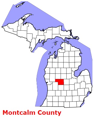
The borders of Montcalm County over the map of Michigan
Explore some more counties of Michigan:
- Wexford County
- Washtenaw County
- Van Buren County
- Tuscola County
- Shiawassee County
- Schoolcraft County
- Sanilac County
- St. Joseph County
- St. Clair County
- Saginaw County
- Roscommon County
- Presque Isle County
- Ottawa County
- Otsego County
- Oscoda County
- Osceola County
- Ontonagon County
- Ogemaw County
- Oceana County
- Newaygo County
Full list of Michigan maps
This online map of Montcalm County, Michigan is provided by Bing Maps. Please add a bookmark and share the page with your friends!