The exact coordinates of Sterling Heights Michigan for your GPS track:
Latitude 42.578529 North, Longitude 83.030022 West.
Please share the link with friends and neighbors:
Share on Facebook
Share on WhatsApp
Share on Telegram
Share on Facebook
Share on WhatsApp
Share on Telegram
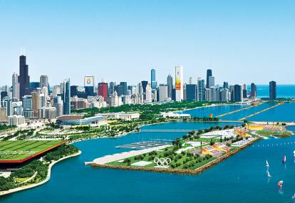
An image of Sterling Heights
More city maps of Michigan:
- Map of Grand Rapids
Grand Rapids is a city in Western Michigan with almost 200 thousand inhabitants.... - Map of Ann Arbor
Ann Arbor, Michigan is a city in Washtenaw County and a part of Detroit metropolitan area, located... - Map of Dearborn
Dearborn, Michigan, incorporated 1927, is a large western suburb of Detroit with 95 thousand resid... - Map of Westland
Westland, Michigan is a city located 15 miles west to Detroit. Its population exceeds 81 thousand ... - Map of Wyoming
The city of Wyoming, Michigan is located in Kent County. This is actually a suburb of much larger ... - Map of Southfield
Southfield is a city in the southern part of Michigan (Oakland County) with 76 thousand residents.... - Map of West Bloomfield
West Bloomfield, Michigan is a wonderful charter township situated in Oakland County. West Bloomfi... - Map of Royal Oak
Royal Oak, Michigan is a remarkable suburban city of Detroit located in Oakland County. Royal Oak ... - Map of Redford
Redford, Michigan is a positive charter township located in Wayne County, about 16 miles northwes... - Map of Plainfield
Plainfield, Michigan is a nice charter township and a northern suburb of Grand Rapids, located in ... - Map of Orion
Orion, Michigan is a charter township found about 30 miles north to Detroit, in Oakland County. Th... - Map of Holland
Holland, Michigan (founded in 1847) is a stylish lakeside city standing in Ottawa and Allegan coun... - Map of Northville
Northville, Michigan is a nice township located 27 miles west of Detroit, in Wayne County. Northvi... - Map of Gaines Township
Gaines Township, Michigan is located 14 miles south of Grand Rapids, in Kent County. Established i... - Map of Washington Township
Washington Township, Michigan is located 35 miles north of Detroit, in Macomb County. Founded in 1... - Map of Plymouth Township
Plymouth Charter Township, Michigan is located in Wayne County. Established in 1827, today Plymout... - Map of Norton Shores
Norton Shores, Michigan is a lakeside city situated in Muskegon County. Organized in 1845, today N...
Distances from Sterling Heights, Michigan:
- Distance between Sterling Heights and Grand Rapids
- Distance between Sterling Heights and Ann Arbor
- Distance between Sterling Heights and Dearborn
- Distance between Sterling Heights and Westland
- Distance between Sterling Heights and Wyoming
- Distance between Sterling Heights and Southfield
- Distance between Sterling Heights and West Bloomfield
- Distance between Sterling Heights and Royal Oak
- Distance between Sterling Heights and Redford
- Distance between Sterling Heights and Plainfield
- Distance between Sterling Heights and Orion
- Distance between Sterling Heights and Holland
- Distance between Sterling Heights and Northville
- Distance between Sterling Heights and Gaines Township
- Distance between Sterling Heights and Washington Township
- Distance between Sterling Heights and Plymouth Township
- Distance between Sterling Heights and Norton Shores
Full list of Michigan maps
This online map of Sterling Heights, Michigan is provided by Bing Maps. Please add a bookmark and share the page with your friends!