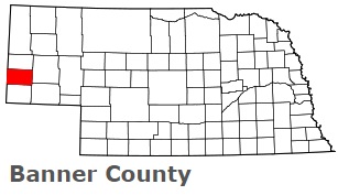
The borders of Banner County over the map of Nebraska
Explore some more counties of Nebraska:
- York County
- Wheeler County
- Webster County
- Wayne County
- Washington County
- Valley County
- Thurston County
- Thomas County
- Thayer County
- Stanton County
- Sioux County
- Sherman County
- Sheridan County
- Seward County
- Scotts Bluff County
- Saunders County
- Sarpy County
- Saline County
- Rock County
- Richardson County
Full list of Nebraska maps
This online map of Banner County, Nebraska is provided by Bing Maps. Please add a bookmark and share the page with your friends!