The exact coordinates of Durham New Hampshire for your GPS track:
Latitude 43.134064 North, Longitude 70.92598 West.
Please share the link with friends and neighbors:
Share on Facebook
Share on WhatsApp
Share on Telegram
Share on Facebook
Share on WhatsApp
Share on Telegram
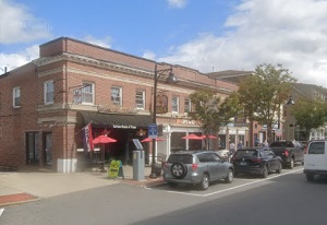
An image of Durham
More city maps of New Hampshire:
- Map of Manchester
Manchester is the largest city in the state of New Hampshire, United States, and the county seat o... - Map of Concord
Concord (Incorporated 1734) is the capital city of the state of New Hapmshire with population of 4... - Map of Salem
Salem, New Hampshire is an attractive city located in Rockingham County. Incorporated back in 1750... - Map of Londonderry
Londonderry, New Hampshire (incorporated 1722) is a dynamic town in Rockingham County. The populat... - Map of Laconia
Laconia is a city in Belknap County, central New Hampshire. Situated along the shores of Lake Winn... - Map of Somersworth
Somersworth, New Hampshire is a lovely city situated in Strafford County. It stands on the Salmon ...
Full list of New Hampshire maps
This online map of Durham, New Hampshire is provided by Bing Maps. Please add a bookmark and share the page with your friends!