The exact coordinates of Salem New Hampshire for your GPS track:
Latitude 42.788128 North, Longitude 71.201767 West.
Please share the link with friends and neighbors:
Share on Facebook
Share on WhatsApp
Share on Telegram
Share on Facebook
Share on WhatsApp
Share on Telegram
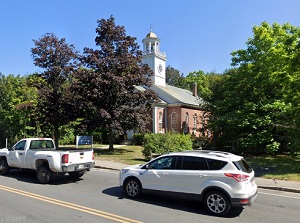
An image of Salem
More city maps of New Hampshire:
- Map of Manchester
Manchester is the largest city in the state of New Hampshire, United States, and the county seat o... - Map of Concord
Concord (Incorporated 1734) is the capital city of the state of New Hapmshire with population of 4... - Map of Londonderry
Londonderry, New Hampshire (incorporated 1722) is a dynamic town in Rockingham County. The populat... - Map of Laconia
Laconia is a city in Belknap County, central New Hampshire. Situated along the shores of Lake Winn... - Map of Durham
Durham is a town located in Strafford County, southeastern New Hampshire. It stands along the Oyst... - Map of Somersworth
Somersworth, New Hampshire is a lovely city situated in Strafford County. It stands on the Salmon ...
Distances from Salem, New Hampshire:
- Distance between Salem and Manchester
- Distance between Salem and Concord
- Distance between Salem and Londonderry
- Distance between Salem and Laconia
- Distance between Salem and Durham
- Distance between Salem and Somersworth
Full list of New Hampshire maps
This online map of Salem, New Hampshire is provided by Bing Maps. Please add a bookmark and share the page with your friends!