The exact coordinates of Fernley Nevada for your GPS track:
Latitude 39.607605 North, Longitude 119.252213 West.
Please share the link with friends and neighbors:
Share on Facebook
Share on WhatsApp
Share on Telegram
Share on Facebook
Share on WhatsApp
Share on Telegram
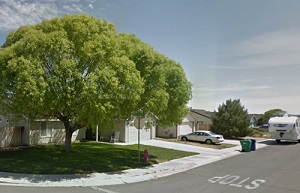
An image of Fernley
More city maps of Nevada:
- Map of Enterprise
Enterprise, Nevada is a CDP on the southern edge of Las Vegas metro area with 171 thousand inhabit... - Map of Dayton
Dayton, Nevada is a wonderful town located in Lyon County. It stands about 12 miles east of Carson...
Full list of Nevada maps
This online map of Fernley, Nevada is provided by Bing Maps. Please add a bookmark and share the page with your friends!