The exact coordinates of Spring Creek Nevada for your GPS track:
Latitude 40.7934 North, Longitude 115.659767 West.
Please share the link with friends and neighbors:
Share on Facebook
Share on WhatsApp
Share on Telegram
Share on Facebook
Share on WhatsApp
Share on Telegram
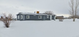
An image of Spring Creek
More city maps of Nevada:
- Map of Henderson
Henderson is a city located in Clark County, Nevada. It is part of the Las Vegas metropolitan area... - Map of Reno
Reno is the county seat of Washoe County, Nevada, and is located in the western part of the state.... - Map of Sunrise Manor
Sunrise Manor, founded 1957, is an unincorporated town on the eastern edge of Las Vegas metro area... - Map of Winchester
Winchester, Nevada is a wonderful town situated on the southern edge of Las Vegas, in Clark County... - Map of Summerlin South
Summerlin South, Nevada is a CDP located near Spring Valley in Clark County. Summerlin South is ho...
Full list of Nevada maps
This online map of Spring Creek, Nevada is provided by Bing Maps. Please add a bookmark and share the page with your friends!